Where You Can Legally Fly a Drone for a Proposal in Utah
Zion banned drones. So did Bryce Canyon, Arches, Canyonlands, and Capitol Reef, along with every other unit the National Park Service runs. If your proposal plan included a drone shot rising over a red rock arch inside one of Utah's Mighty 5, that plan needs a new location, not a workaround.
The ban comes from NPS Policy Memorandum 14-05, issued in June 2014, and it isn't a soft suggestion. Rangers cite 36 CFR 1.5 to enforce it, park by park, and fines start at $5,000 for a first offense.
None of that puts drone photography off the table for a Utah proposal. It just means the legal spots sit outside the national park boundary. Utah state parks issue their own drone permits. BLM land mostly allows recreational flight already. National forest land does too, with a few rules attached.
Here are the Utah places where you can legally fly a drone for a proposal, plus what each one costs and requires. Everything below applies just as much if you're eloping instead of proposing: the permit doesn't care which question gets asked.
Why National Parks Are Off the Table
NPS Policy Memorandum 14-05 bans launching, landing, or operating a drone anywhere on land or water the National Park Service manages, unless a superintendent grants written approval first, which almost never happens for a personal proposal shoot. Every park implements the same underlying policy through its own superintendent's closure order, so Zion, Bryce Canyon, Arches, Canyonlands, and Capitol Reef all enforce it identically even though the paperwork technically lives at the park level.
The rule followed a specific problem: NPS logged more than 1,300 drone incidents nationwide between 2010 and 2014, including a drone that struck a tree at Zion and drones that harassed wildlife at Yellowstone. A first offense runs up to $5,000 and six months in jail; disturbing wildlife or damaging resources pushes that toward $25,000.
If a drone shot isn't the priority and you'd rather see the full range of spots I work in, national parks included, start with the Utah proposal photography guide.
Snow Canyon Scenic Overlook
Snow Canyon State Park, just north of St. George, allows recreational drone flight at one specific spot: the Snow Canyon Scenic Overlook. You submit the Personal Drone Use Flight Permission Form by email at least five days before your flight date, and the park sends back a signed permit with the rules attached.
That five-day lead time is the only planning hurdle. Once it's approved, you're flying over the same red and white Navajo sandstone cliffs and black lava rock that make this park one of the most photographed spots in southern Utah.
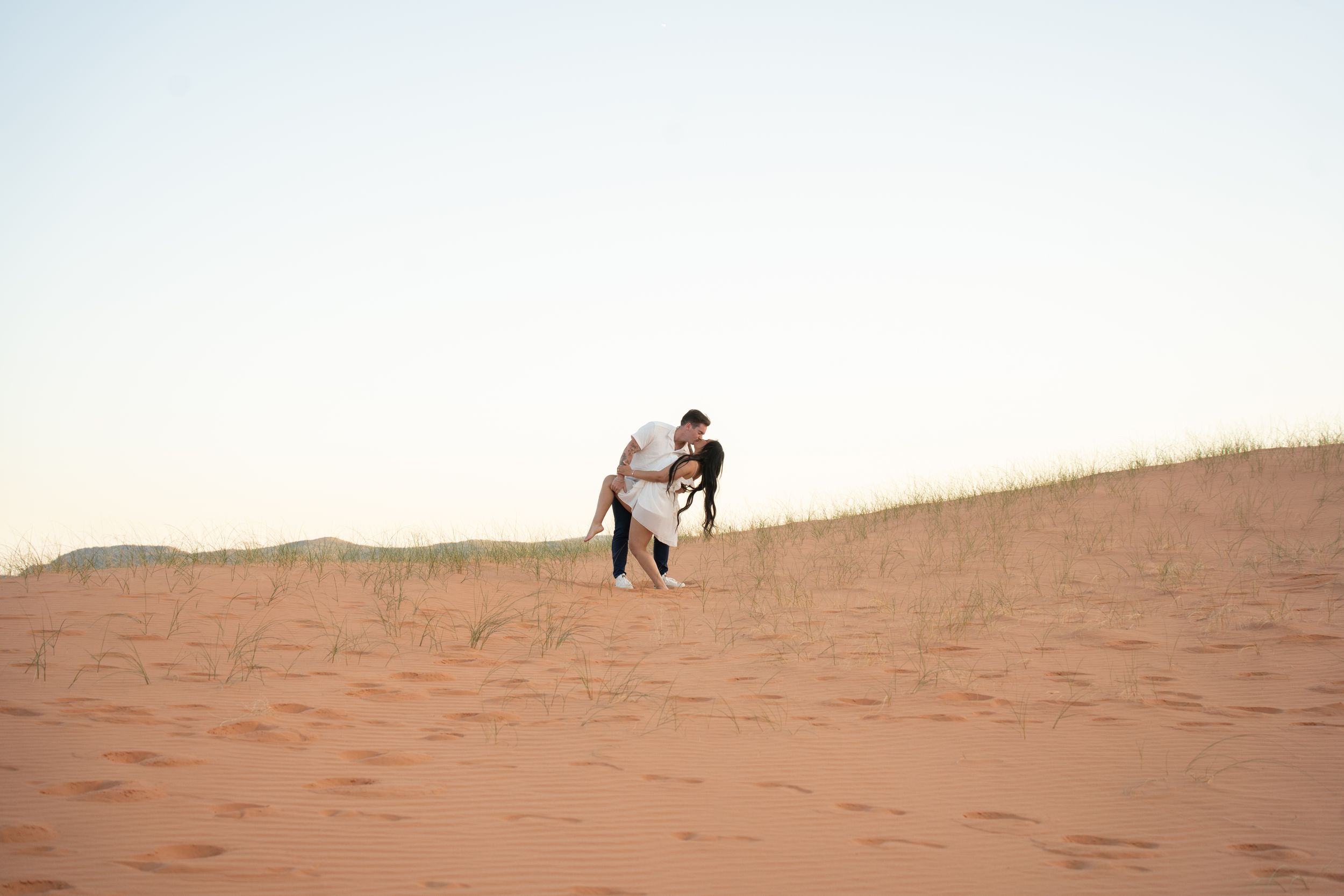
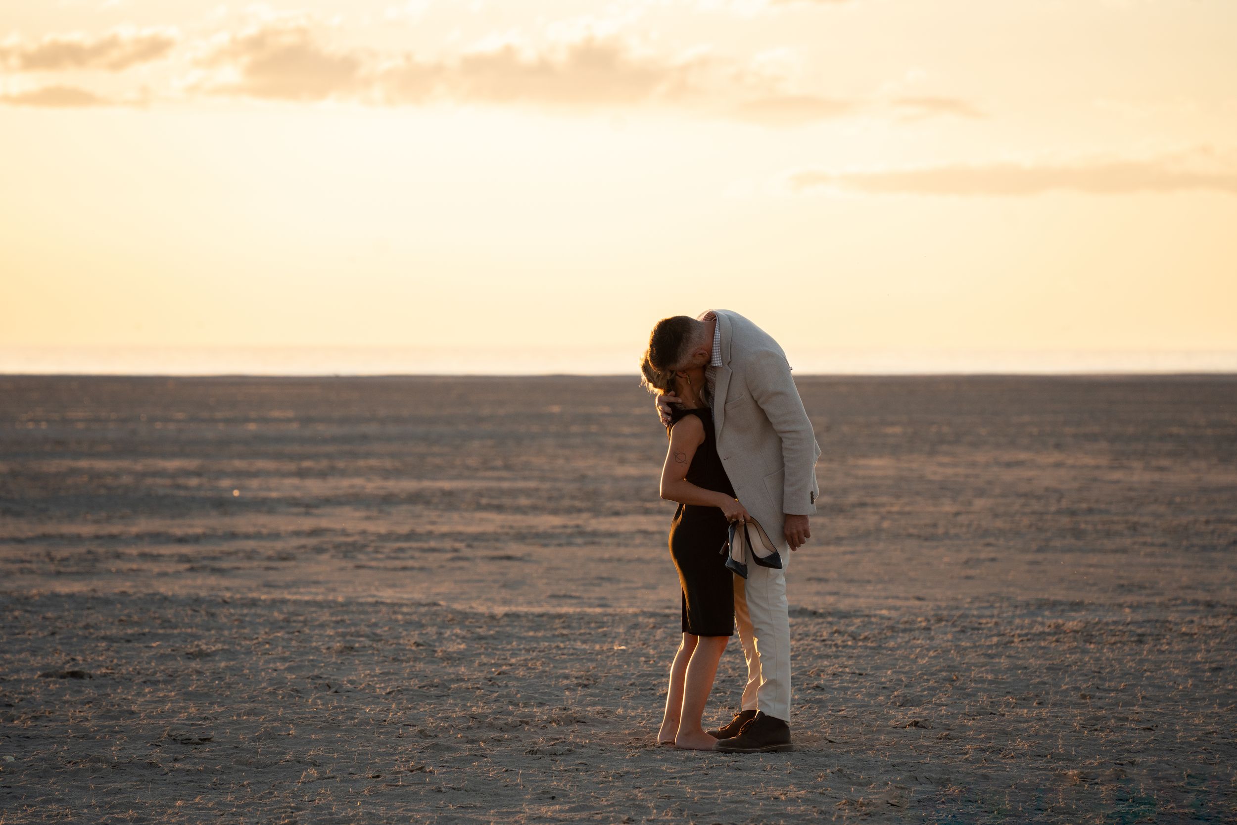
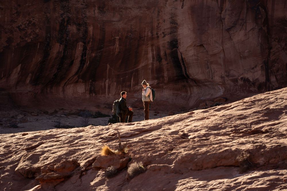
I don't have a session shot at this exact overlook yet, so the photo below is from a different red-rock proposal, not Snow Canyon itself. The light behaves the same way here that it does across southern Utah: it goes gold fast at sunset, then fades into some of the darkest skies in the region.
Dead Horse Point State Park
Dead Horse Point earns its own seasonal window: drones are allowed only from November 1 through the last day of February, with a $10 daily permit from the visitor center. The main overlook itself, the one with the 2,000-foot drop to the Colorado River, is closed to drone operation specifically; the park maps out separate approved zones instead.
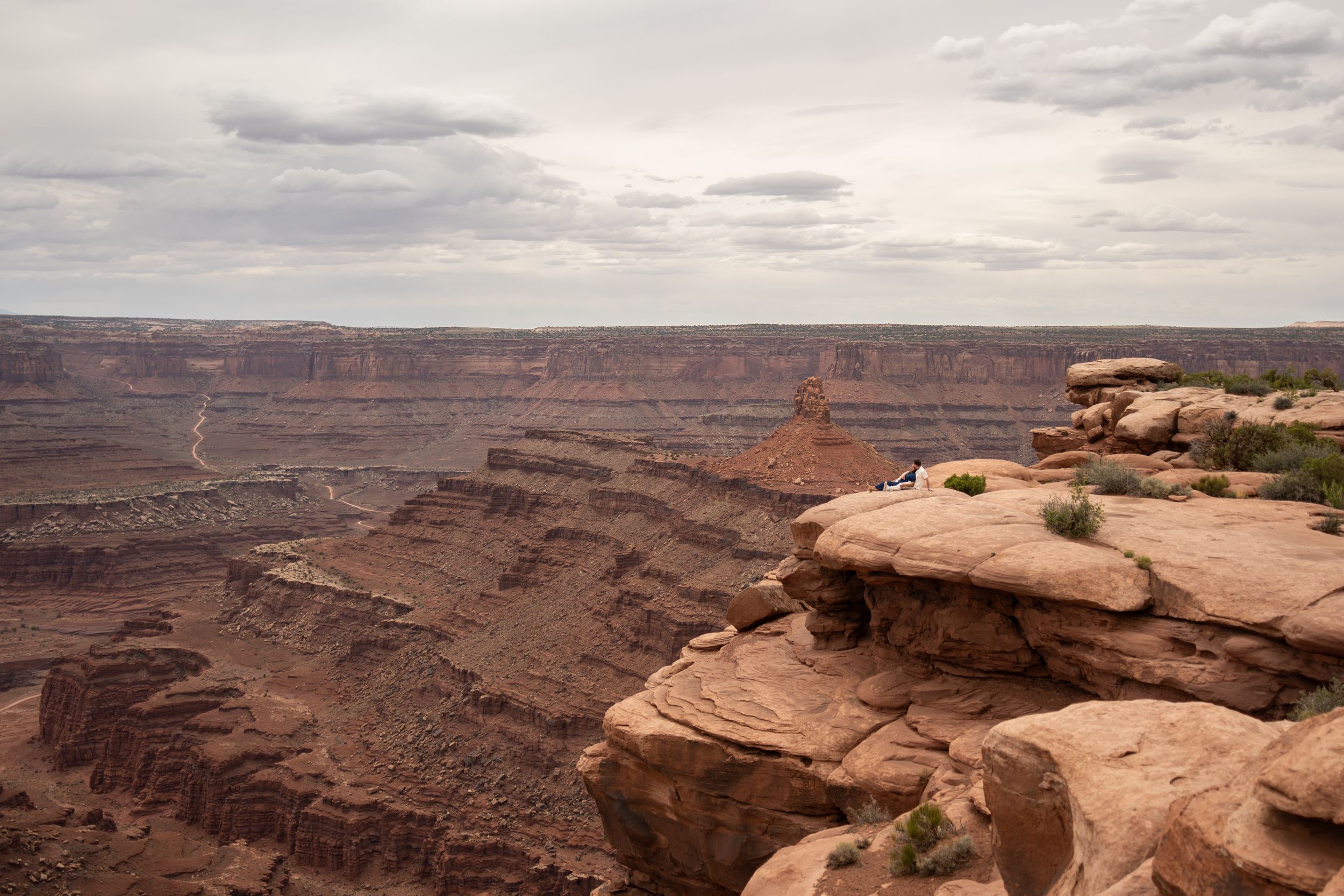
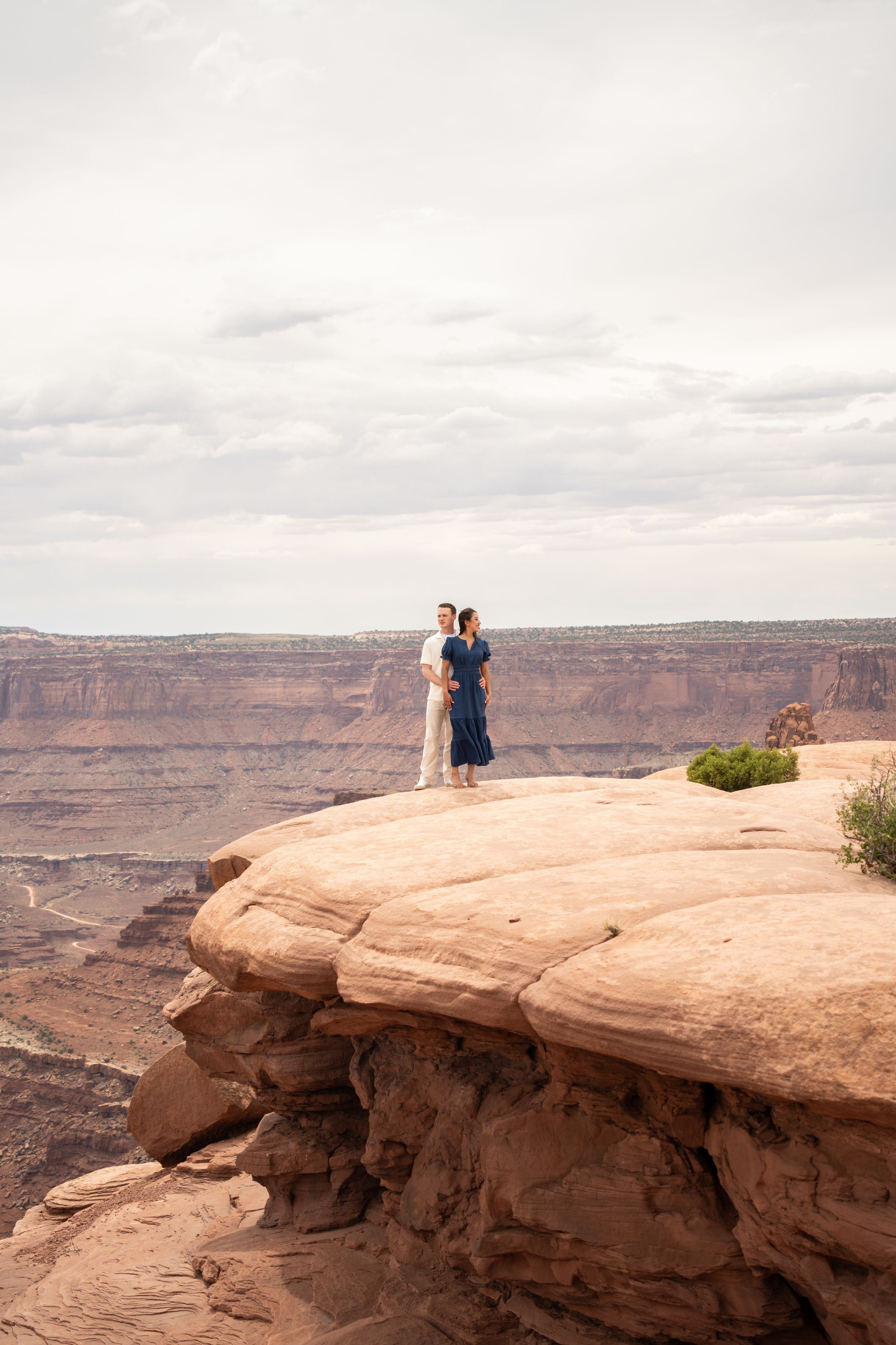
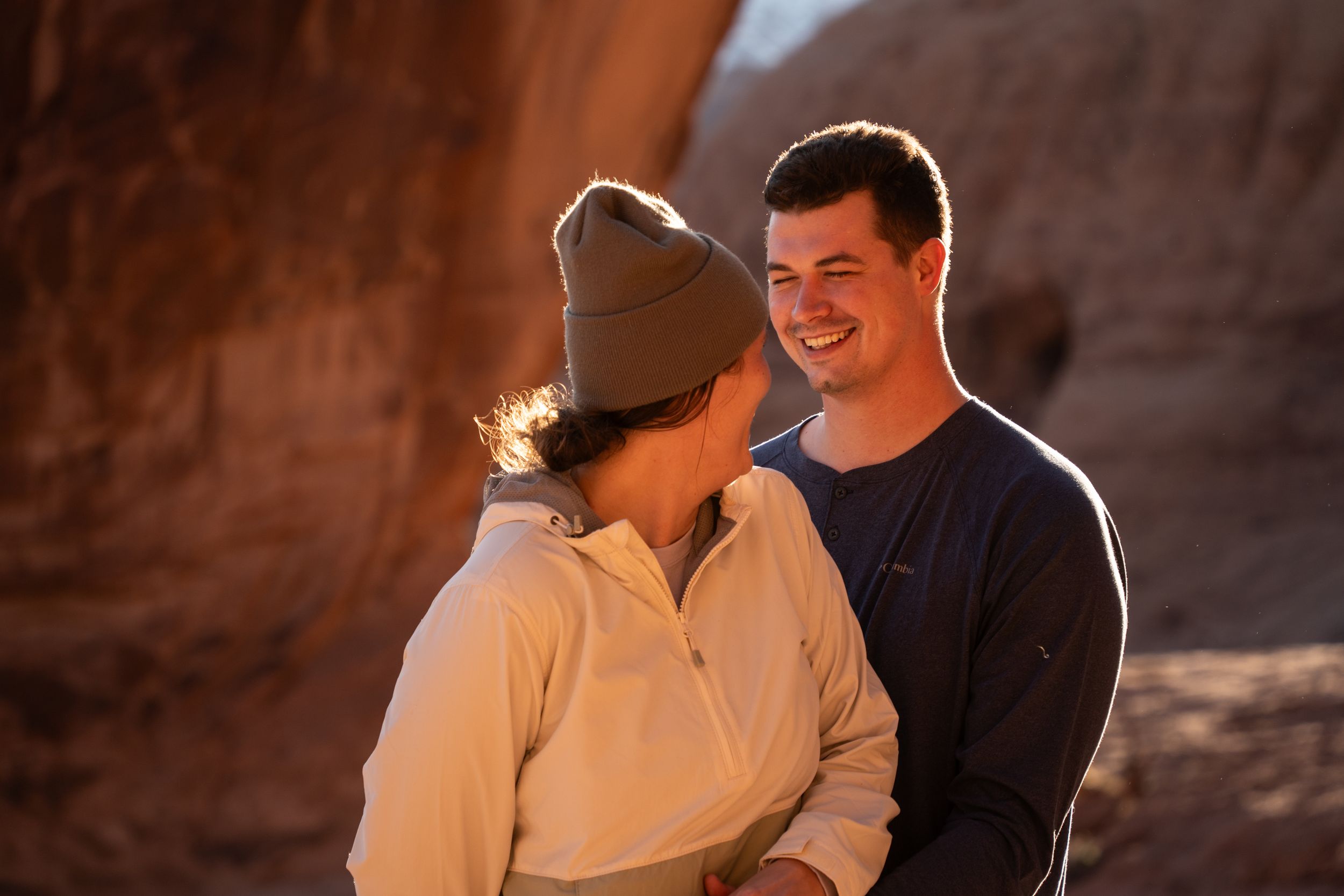
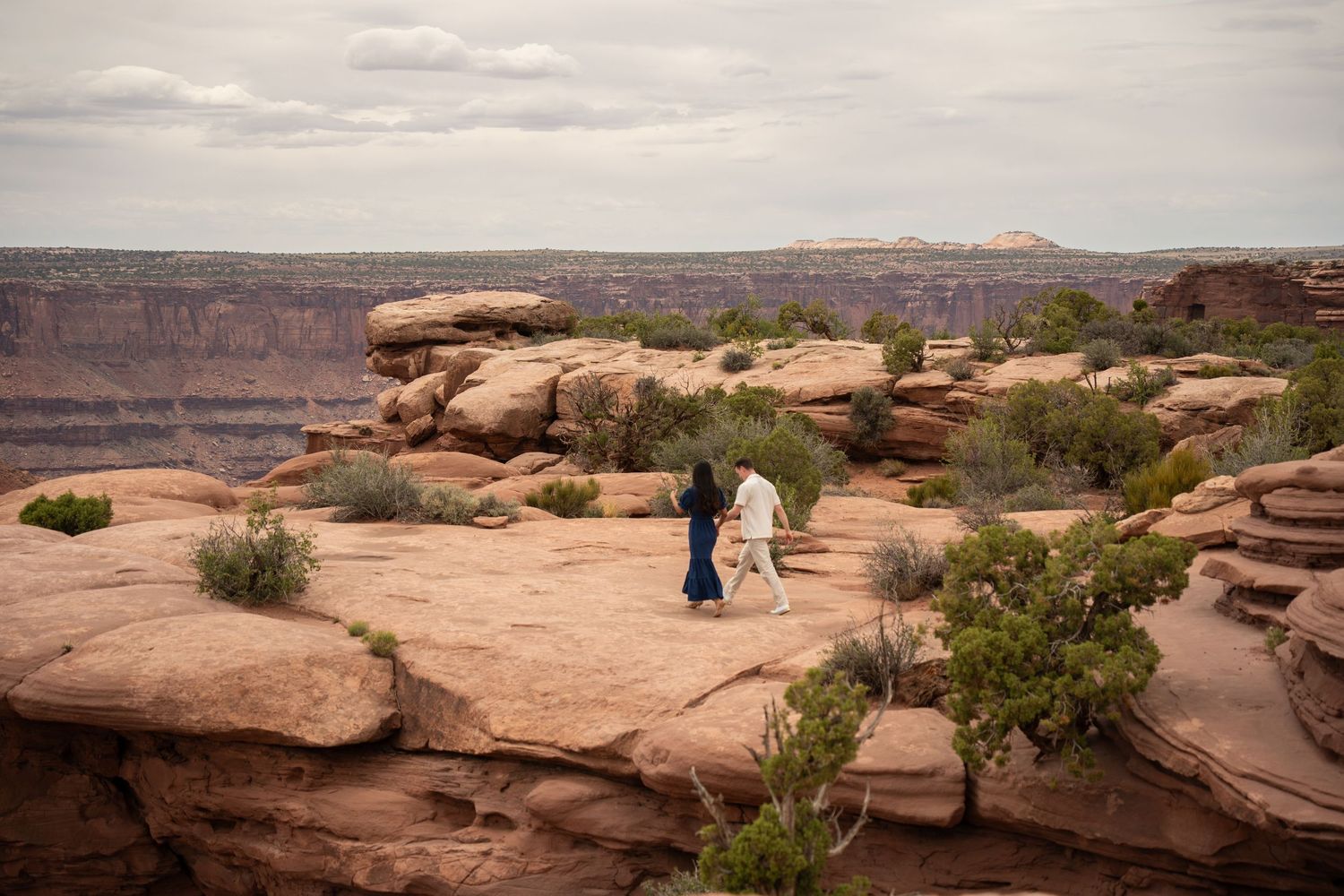
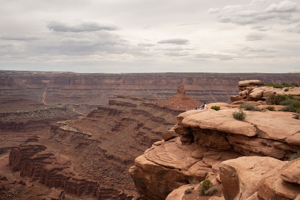
That trade-off is worth it. This is the same overlook that anchors Canyonlands National Park's skyline from just outside its boundary, and it's already one of the most requested state park proposal and elopement spots I photograph. I've shot sessions here, including the one below.
Outside that November-to-February window, plan your proposal for the ground instead. The rim views carry the shot without a drone.
Goblin Valley State Park
Goblin Valley runs a permit system that operates year-round, but it tightens hard during the busy season. From March through October, no drones fly on weekends or holidays, and weekdays cap out at two permits per hour and ten per day. From November through February, the park drops those restrictions and allows flights all seven days.
Either way, flights stay inside Valley 1, launched from a designated platform at the Observation Point, so you can't take off wherever the goblins look best. Permits cost $15 per day and are issued in person at the visitor center only, no advance online option.
It's still a legitimate yes, and the payoff is worth it: thousands of mushroom-shaped sandstone hoodoos with almost nobody else around if you time it on a weekday. I don't have a session shot in Goblin Valley yet, so the photo here is from a different red-rock proposal, not this park.
Antelope Island State Park
Antelope Island only allows drones from December through February; the rest of the year, the island is closed to them entirely. During that window, flights stay inside a designated roughly 2,000-acre zone, and you'll need a signed permit from the visitor center before you take off: $15 for a single day, $30 for multiple.
The upside is a landscape nothing else on this list has: free-roaming bison, the Great Salt Lake stretching to the horizon, and the Wasatch range behind it. Winter also means fewer visitors on the causeway.
I don't have a session shot on Antelope Island yet, so the photo below is from a different proposal, not this park. If a winter proposal is already the plan, the permit timeline lines up well.
Wasatch Mountain State Park
Wasatch Mountain State Park, wrapping around Midway and Heber City, keeps its drone process simple: fill out a Drone Permission Form, get it approved by park management, pay a $10 fee at the park office, and you're cleared for personal use. There's no seasonal blackout window like Dead Horse Point or Antelope Island.
That simplicity matters if your proposal is already planned near Park City or Heber. You get mountain views, golf-course green in summer or snow in winter, without waiting for a specific month to line up with your trip.
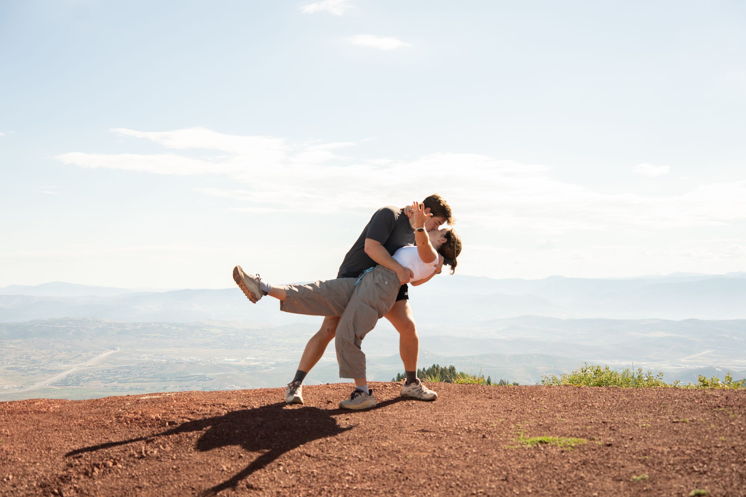
I don't have a session shot inside the park boundary yet, so the photo below is from a different Park City-area proposal, not Wasatch Mountain State Park itself.
Jordanelle State Park
Jordanelle runs the same personal-use process as Wasatch Mountain: a Drone Permission Form, park staff approval, and a $10 fee, with no seasonal restriction attached. Commercial use, meaning your photographer flies it on your behalf, needs a separate Special Use Permit and a remote pilot certificate on file first.
The reservoir sits close enough to Park City to work as a backup or an add-on if Wasatch Mountain's exact scenery isn't what you pictured: more open water, less forest.
I don't have a session shot at Jordanelle yet, so the photo below is from a different Park City-area proposal, not Jordanelle itself.
BLM Land in Utah
The Bureau of Land Management doesn't run a blanket drone ban the way the Park Service does. Recreational drone flight is generally allowed on BLM land in Utah, outside designated Wilderness and Wilderness Study Areas, where drones count as motorized equipment and can't take off or land at all.
Corona Arch, outside Moab, is the clearest example already on this site. It sits on BLM land off Potash Road, not inside Arches National Park, so there's no entrance fee and no permit required for a hike, a proposal, or a drone, beyond following FAA rules and staying 100 meters from wildlife. I've photographed a proposal there; see the Corona Arch, Moab proposal for the full story.
Rules can vary by field office, so it's worth a quick call to confirm before you fly somewhere new, especially near any Wilderness Study Area boundary.
National Forest Land in Utah
National forest land works on a similar principle: the Forest Service allows recreational drone flight on most National Forest System land, as long as you stay under 400 feet, keep the drone in your line of sight, and stay out of Congressionally designated Wilderness and primitive areas, where drones count as mechanical transport and aren't allowed.
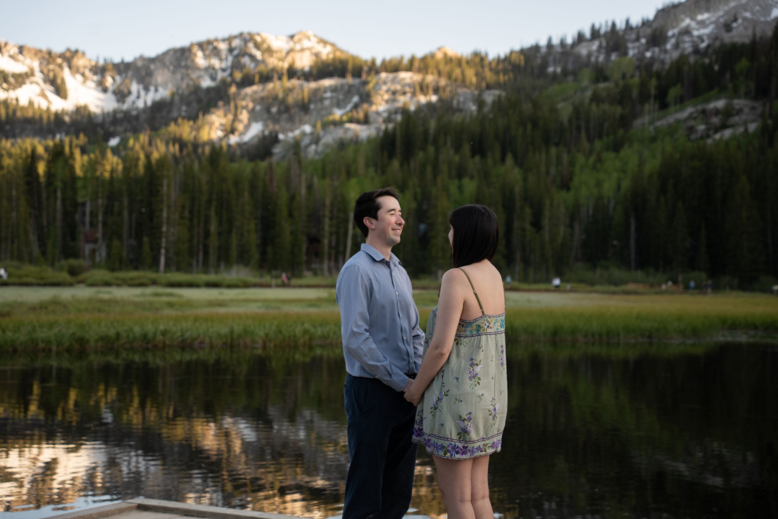
Silver Lake, in Big Cottonwood Canyon's Uinta-Wasatch-Cache National Forest, is an example already on this site. The proposal itself doesn't need a permit there, only a hired photographer does, since the Forest Service requires commercial photographers to carry their own special-use permit on this land. A personal drone flight for your own footage follows the general recreational rule instead. Read the full guide to proposing at Silver Lake for the rest of the logistics.
Stay 100 meters from wildlife, avoid campgrounds and trailheads while flying, and skip it near any active wildfire. Those three rules cover most of what trips people up.
Frequently Asked Questions
Do I need to register my drone with the FAA before flying it anywhere in Utah?
Yes, and this applies everywhere on this list, state park, BLM, or national forest. Drones over 0.55 pounds need FAA registration with the number displayed on the aircraft, and recreational flyers need to pass the free TRUST safety test and carry proof of it. That FAA requirement sits on top of whichever park-specific permit applies. It doesn't replace it.
Can my photographer fly the drone during the proposal, or does it have to be me?
Depends on the permit. Wasatch Mountain and Jordanelle's forms both spell out that the personal-use permit covers only your own recreational flight, not a paid photographer operating on your behalf. If you want your photographer piloting it, that photographer needs a commercial Special Use Permit and a Part 107 remote pilot certificate at that specific park, arranged ahead of time, not the day of.
What happens if someone flies a drone in Zion, Bryce Canyon, or Arches anyway?
The fine matches what's outlined above, but that's not the only cost. Rangers confiscate the drone on the spot in most cases, on top of the citation, and a repeat violation can mean a park-specific ban that follows you on future visits. The fine structure doesn't change based on how short the flight was; even a launch-and-immediate-landing counts as a violation under the policy's wording.
Is there a drone-legal spot close to Zion or Bryce Canyon specifically?
Snow Canyon Scenic Overlook is about 45 minutes from Zion's south entrance and takes drones with a five-day-advance permit, so it's the closest legal option if Zion's scenery is the draw. Bryce Canyon doesn't have as close a match on this list; the national forest land surrounding it is worth a call to the local Forest Service office before you plan a flight around it.
Do these permits cost more if the footage is for a proposal instead of just recreational flying?
No. Every fee on this list, $10 at Wasatch Mountain and Jordanelle, $15 at Antelope Island and Goblin Valley, $10 a day at Dead Horse Point, is the standard personal-use rate no matter what the footage is for. Cost only changes if the person flying is doing it commercially, which requires separate certification.
Does getting a drone permit also cover the proposal itself?
No, they're two separate approvals. None of these parks require a permit for a private proposal on its own: no ceremony, no amplified sound, no large group. The drone permit only covers the aircraft. An actual wedding ceremony or a bigger gathering would need its own Special Use Permit, which is a different form entirely.
Six of these permits cost $10 to $15 and take five days or less to arrange. That's a small planning step next to what an aerial shot adds to a proposal, especially at an overlook like Dead Horse Point or a hoodoo field like Goblin Valley, where the ground-level shot only tells half the story.
Eloping instead of proposing? The same permits apply; see the Utah Park Elopement Guide for how these state parks compare for a full ceremony.
If a drone shot is part of your Utah proposal, tell me the location before you book the permit yourself. I can tell you which of these still fits your timeline and whether the season lines up, before you spend a five-day wait on a park that won't work for your dates.